Nazca to Camana


We left Nazca to make a little detour to have a nice view on the Cerro Blanco, the highest sand dune in the world. We are not very tempted by superlatives, but this dune is an astonishing 2800m high, just 50km from the sea. We love sand and dunes and so we were very curios to see it.
We ride into a dry valley which starts right in Nazca. On both sides mountains with soft shapes accompany the valley. Almost no vegetation is found here; just on the bottom of the valley there must be a little bit of water as some plants create a pattern of green once in a while.
Suddenly the peak of the Cerro Blanco appears over the smaller mountains in the foreground. The name is describing it pretty well. With all the brown mountains surrounding us the bright color of the Cerro Blanco sticks out and appears almost white. We find an opening in the mountains and turn off the paved road to get a closer look. Soft sand makes riding a lot of fun and as we approach we finally see the full flank of the mountain. A wall of more than 2300m of sand is piling up in front of us. It is an incredible sight.
We ride further down the bumpy track until it gets too difficult for Christy on her heavy bike.
We go back to the main road and continue until we reach a mountain pass. From here you can approach the summit of the Cerro Blanco. We stop, enjoy the view and play a little bit in the soft sand, but there is no point on continuing uphill with the loaded bikes.
So we turn around to Nazca and keep going south the PanAm.
After a few kilometers we get off it again to follow a sandy dirt road to a cemetery from pre-inca times: Chauchilla. Tomb raiders have dug the ground to find treasures and so the dead had been laying there in the open field for centuries. A few years ago officials have restored some of the graves and put the bodys into their original graves.
Since in the past years people have wandered around the dead and sometimes even posing with them for photos I think restoring the graves has been a great thing to do. It gives some dignity back to this place.
The whole place still is covered in bones, hair, clothing, clay fragments and other parts of the graves. All over are little dips, indicating other graves that have been opened.
We are the only visitors. It is boiling hot in the sun. The place is surrounded by hills in different colors. The place offers a strange morbid beauty and peace.
The deads have been dried in their graves to mummies. The many years in the sun have whitened their bones. So here they sit in their new graves with some rests of their belongings. It is really macabre and strange. But also beautiful and peaceful.
We hit the PanAm at around 1 and we have decided to go till the town of Chala. We expected the road to be sort of boring and to be one of the parts where we would just cover distance.
But we were wrong! It was a fantastic ride with lots of stops to enjoy the constantly changing scenery.
The landscape can be described in one sentence: Desert to the left, black strip of PanAm in the middle, blue sea to the right.
But the diversity was mind-blowing: we passed sections with complete flatness, areas with beautifully shaped rocks, colors of red, green and yellow. At one point the dunes towered a few hundred meters and rose directly from the sea. About have way up the PanAm crosses the dunes flank. We passed deserted sand beaches for kilometers. Sometimes the coast was rocky with the waves wildly shattering on the cliffs. Sometimes the sea was rolling in long surfers paradise waves upon shallow beaches.
The sea was deep blue, forming a perfect contrast with its freshness and vivid nature in comparison to the complete lack of water and lifeless desert on our left.
It was 400km of pure pleasures. From Nazca to Camana with an overnight stop in Chalca.

A sandy track brings us closer to the Cerro Blanco

A wall of 2300m sand

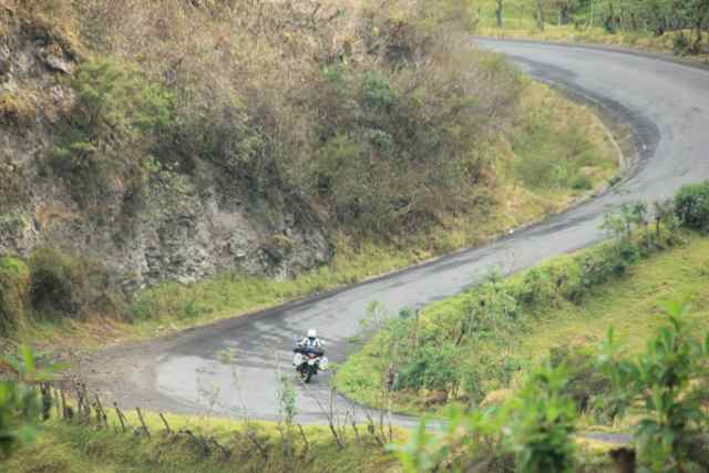
Safely out of the valley again

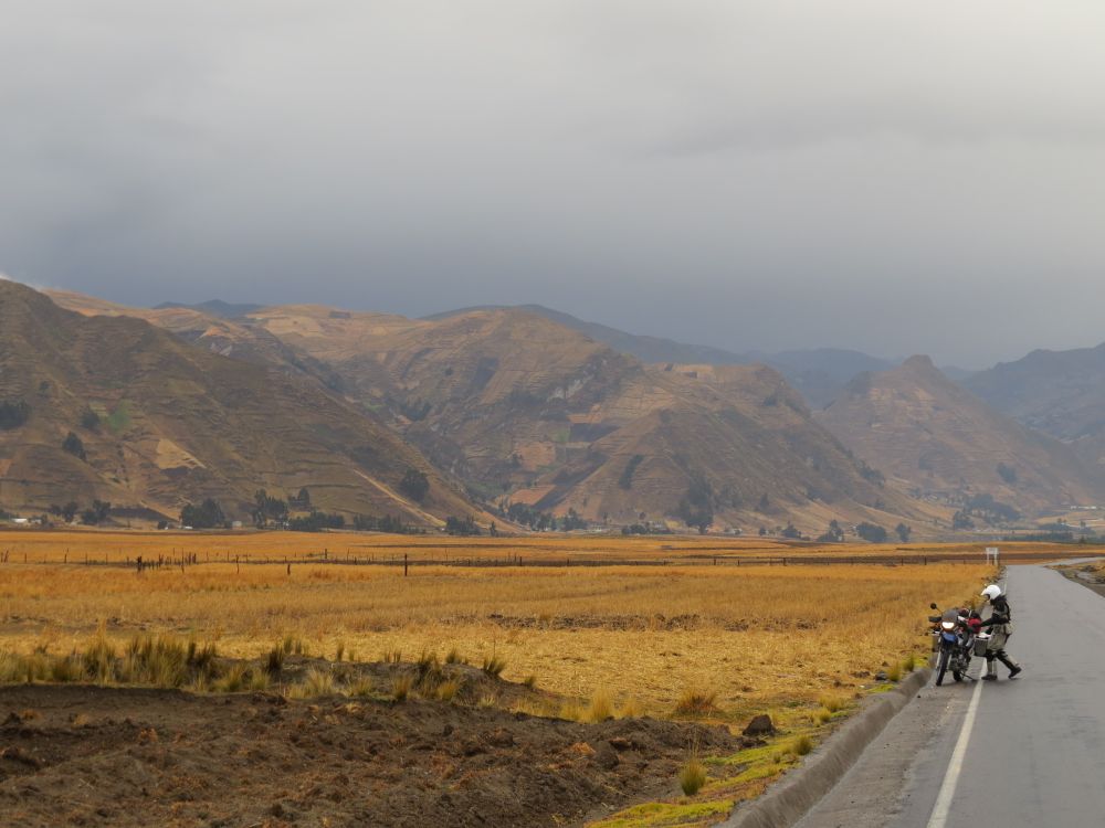
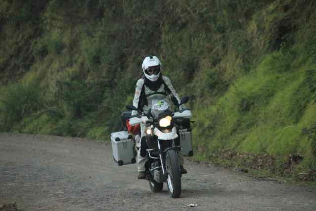
Following the road up to a mountain pass through a dry valley.

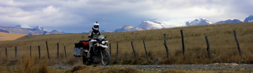
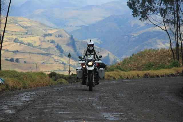
Like so often very little traffic, great scenery and fun riding.

We play around in the sand a little bit and Christy is learning quick.

uiuiuiuiui…..

Ahh, she got it. Well done!

view on the Cerro Blanco from a nice spot. Time for a break.

Feeling like a flea on elephants skin.

On the way to the cementary

Beside the morbid scenery of the cementary it is a very beautiful place.

Well protected from the intense sun

Bones laying all over the place

the bodies turned to mummies in their dry graves.

The mummies are all in a kneeing position. The bones whitened from the sun.

A macabre peaceful scene

On the road to the pacific

The coast is a very dry desert.

very little traffic on long stretches

The landscape changes constantly

Sand and rocks as far as one can see

More sand piling up

Details of more sand

sand to the left, sand to the right and sand on the road

clouds mix strangely with the absolute lack of water

Our bikes had a nice spot for the night.

Beautiful contrast of the sea and the sand.

long waves for kilometres

perfect beaches with no one around

some rocky parts along the coast and one of the few villages along the coast

Some volcanic rocks and the PanAm winding through it

fresh, vivid, colourful: the sea

a huge dune raising directly from the sea

shallow water and beautiful beaches

a mountain of sand rising directly from the sea

colourful rocks all just few kilometres after the sandy beaches

We made many stops and still thought we rushed through that part.