Entering Peru

From Lojas there are 3 possible crossings to Peru: one was recommended by Rafael from Freedom Bikes in Quito. It would be the most beautiful but also the one that would take the most time.

A direct route would take us directly into a desert in northern Peru.

The option we would take was to go to the coast. We figured we had enough cold days and wanted to have a nice coastal road. So we drove to the boarder crossing close to Tumbes.

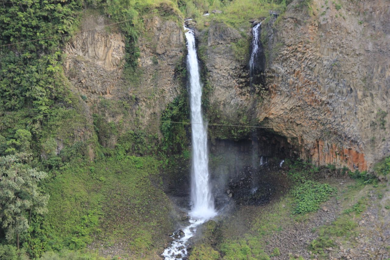
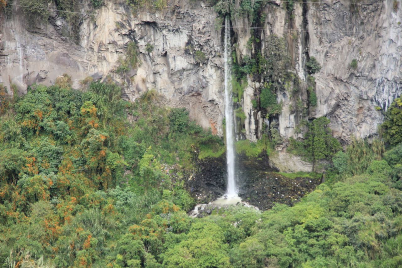
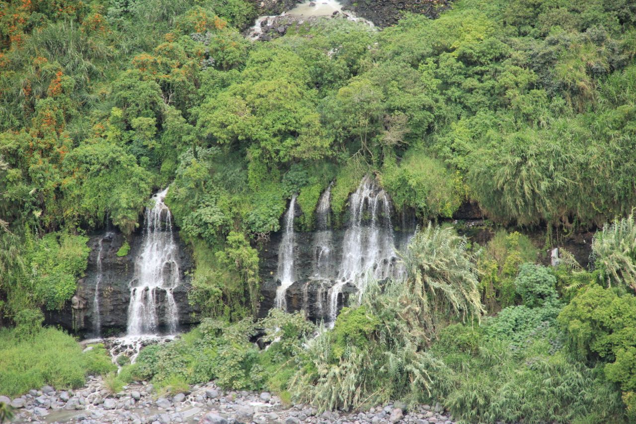
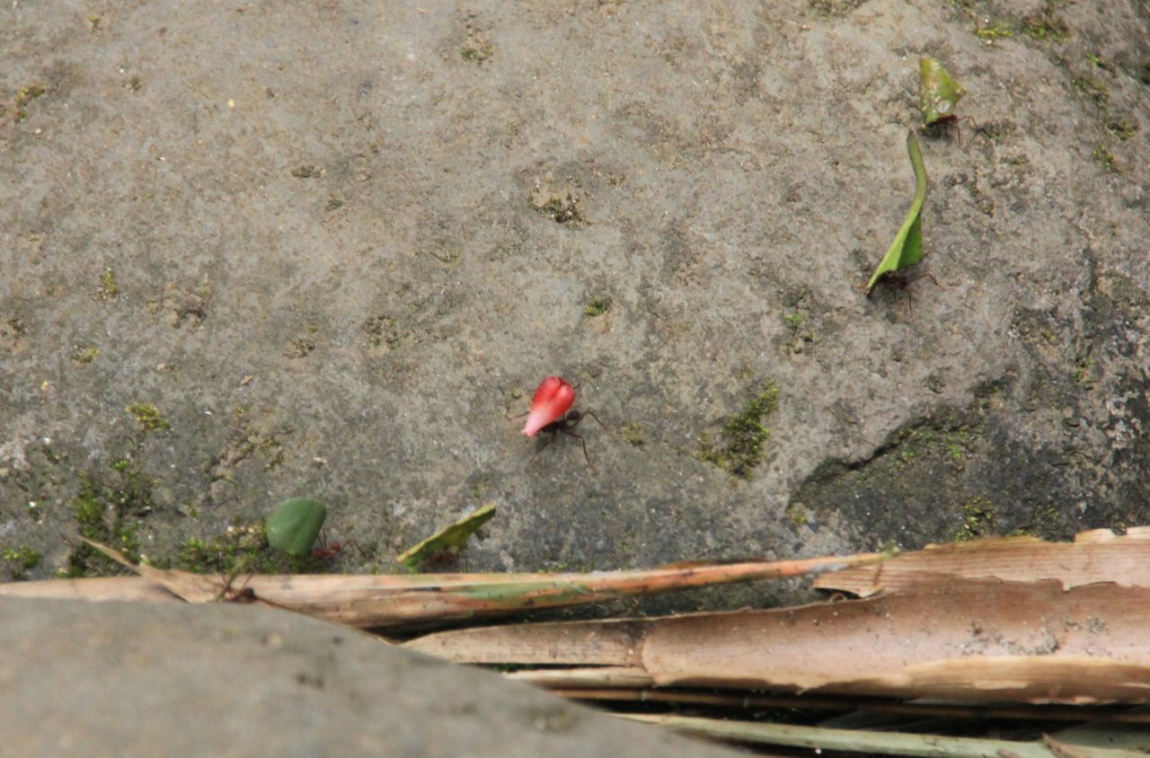
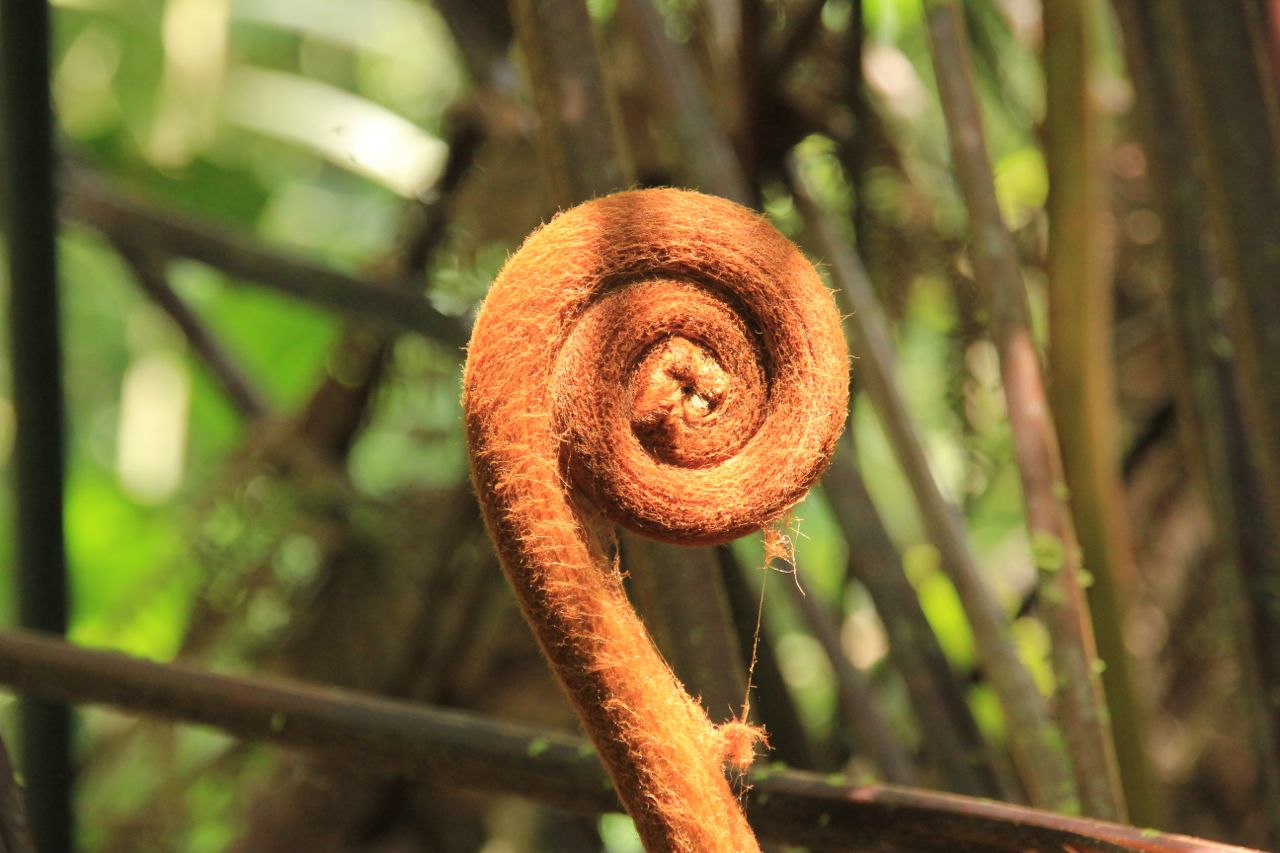
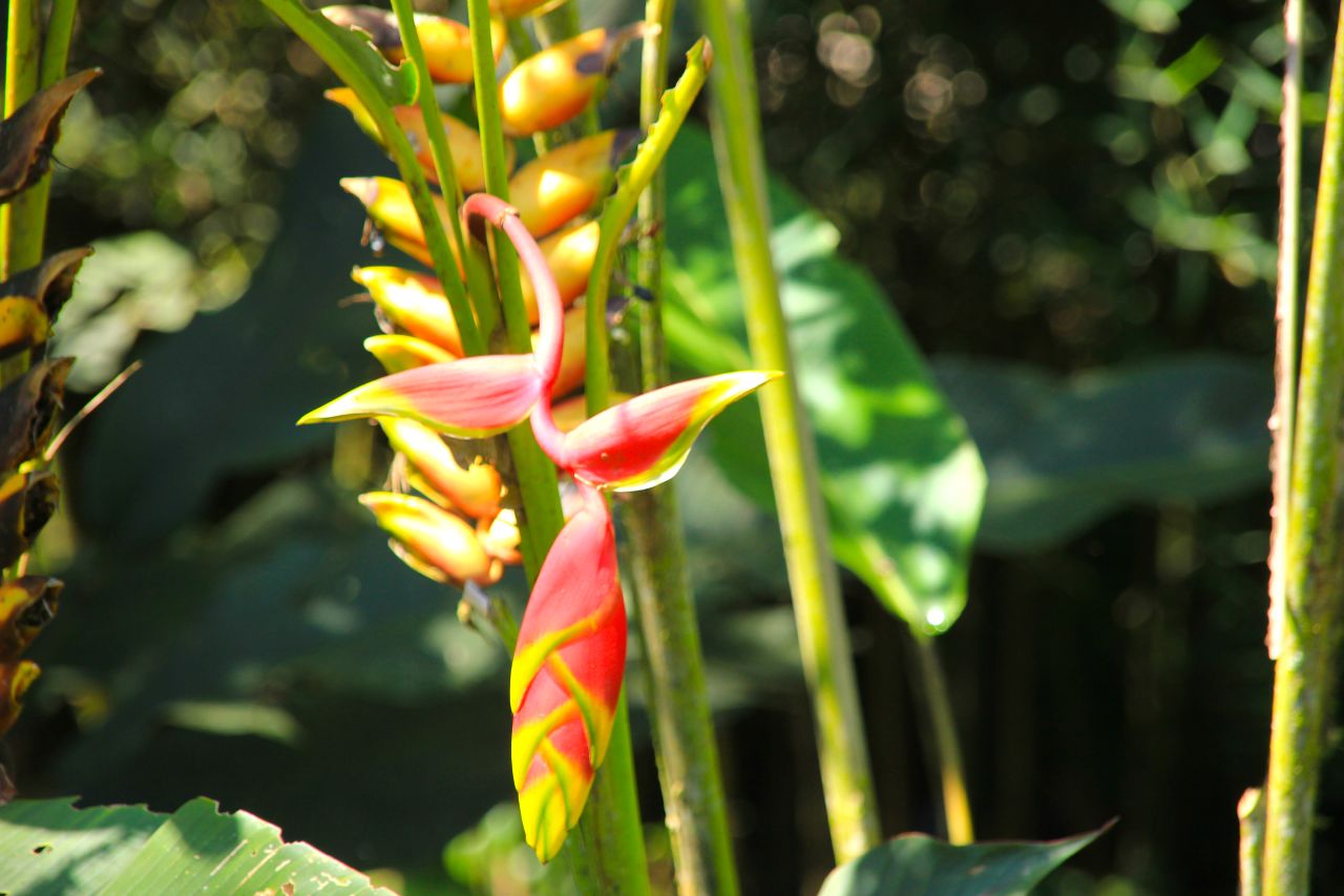
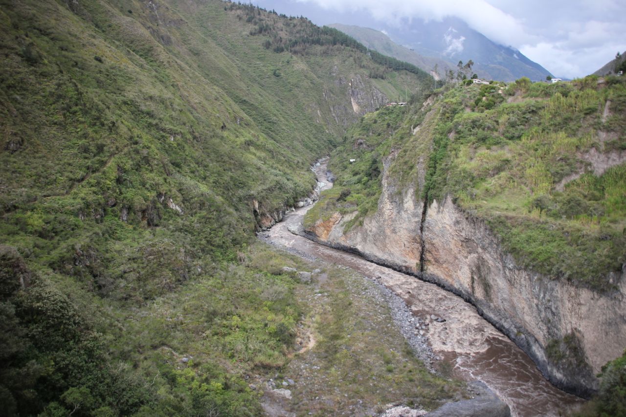
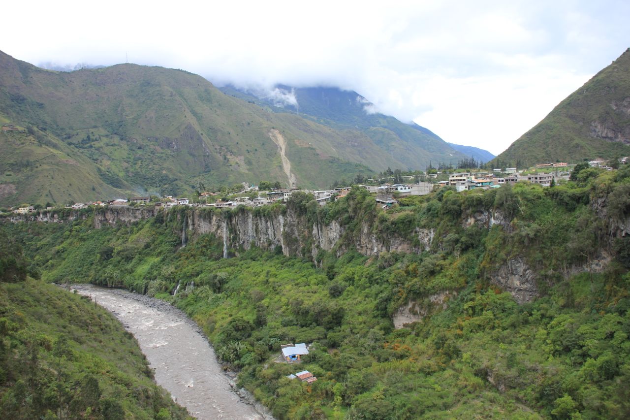
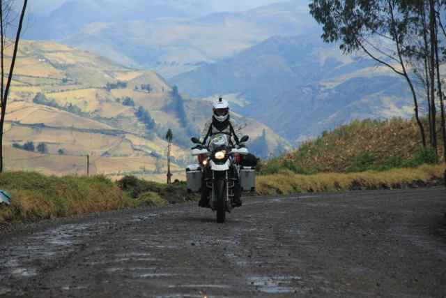
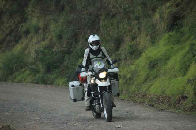
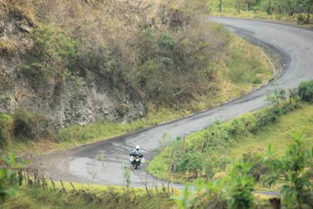
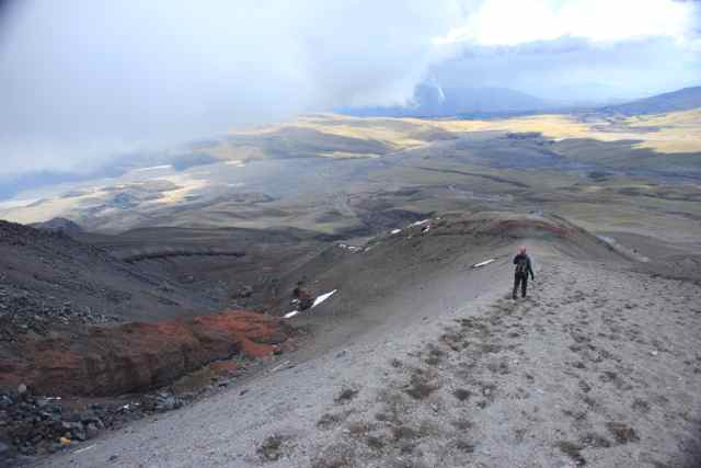
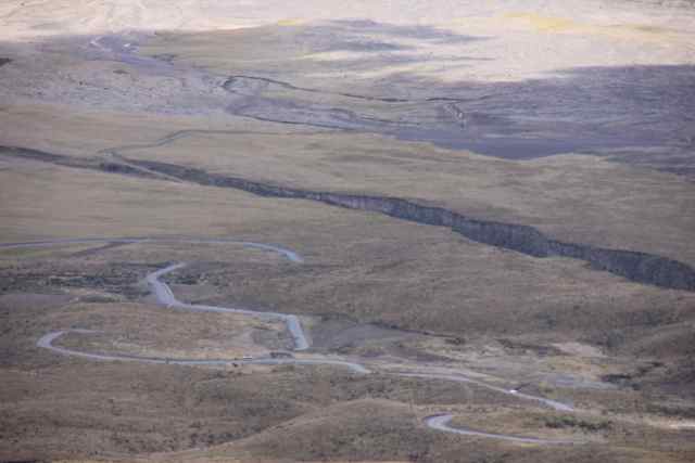
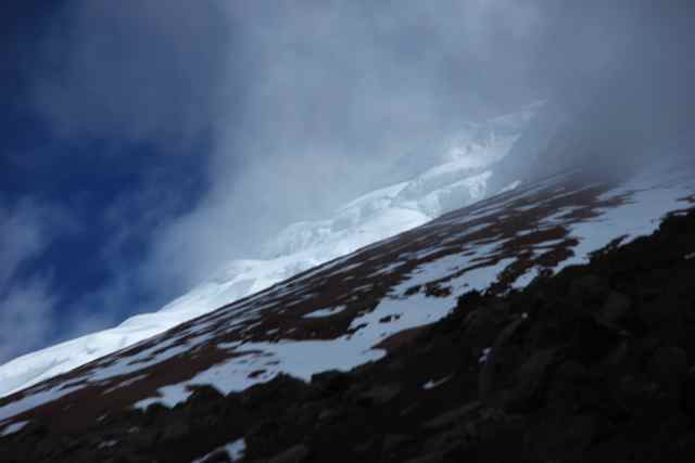
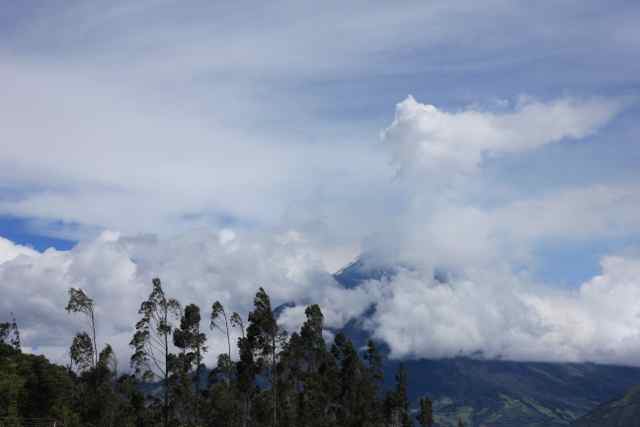
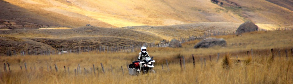
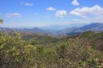
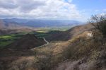
The ride was amazing. The whole day curves. First on a large road with nice long curves that were very nice to ride, later on a smaller, but still very good road down from 3000m to sea level. The air became quickly warmer and the more humid. The vegetation changed from green grasslands to more exotic banana plants.

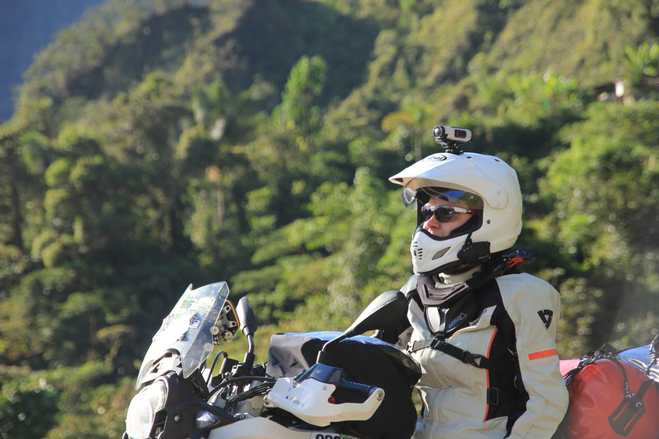
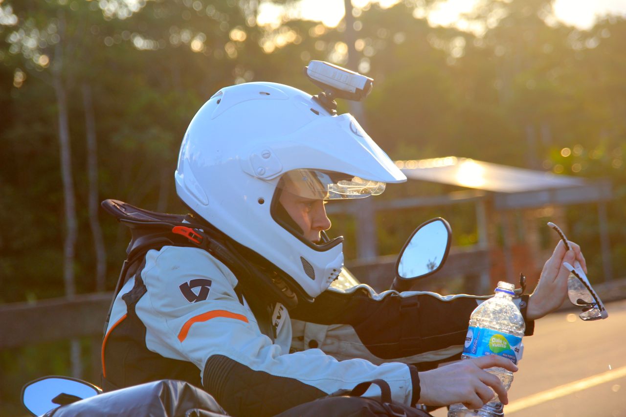
Christy’s riding improved noticeably during this day, with the hundreds of curves giving her plenty of learning possibilities.

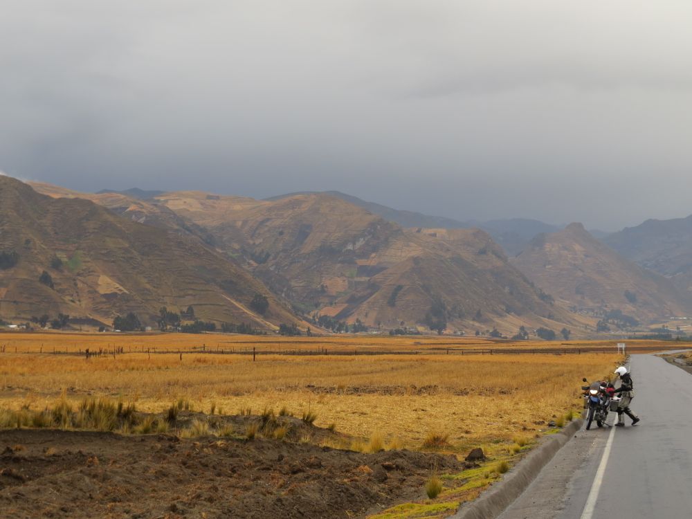
The road was very nice to ride, but you had to be very concentrated. Not only because of the curvy road, but also because of obstacles like cows, cars, donkeys that just stand around on the road. Sometimes parts of the street were missing due to landslides.

We made it to Huaquillas, the boardertown, at around 4pm.

Originally we wanted to go to the city and get money for the crossing, but the road goes around the city and so we ended up at the boarder. It took us 3 hours to cross (including returning to the city to get money and go to customs, which is actually 5km before the border).

So we entered Peru at 7pm, one hour after it became dark. The next hotel was 35km away. So we did what we always wanted to avoid, riding overland in the dark. We took our time. It was still difficult and we were super concentrated. The driving attitude dropped once we entered Peru. Cars pull in without signals, cars overtake in the most ridiculous situations, people cross the street without looking and worst are the little 3-wheeled taxis. They turn in the middle of the street and move left and right with no warning. We made it into Tumbes which turned out to be a very chaotic and loud city. Maybe it would be really nice and vivid if you were in a mood for it, but we were just tired. So we parked the bikes in the Costa del Sol Hotel, had dinner and went off to bed without even having a little walk into the city.

Hats and colonial towns

We stayed in Cuenca 4 1/2 days and had some Spanish lessons. The town is an old colonial town with small streets, all one way which creates long traffic jams in the morning and the evening. Ecuador is the home of the Panama hat, which workers wore when constructing the panama canal. So this is how it got its name. You see the hats everywhere on the street. So we decided to visit a company where these hats are produced. It quite impressive how they do this, a done with machines which seem to be 100years old and a lot by means of the hands of experienced workers. The production site is quite famous and lots of celebrities have been there to visit. We left Alberto and his nice and friendly personal at around 1:30 since Christy had Spanish lessons in the morning. The countryside kept being beautiful. The road led through the mountains and went from 3500m down to 2000m and back up to 3500 within few kilometers. In some areas the landscape looked like Bavaria. Sheep and cows standing around on the meadows chewing up the fresh green grass.

It was pretty cold that day and we were freezing a lot.

It got slowly dark and after a nice sunset on the road we arrived in the dark in Lojas. We found a real nice restaurant around the corner of the hotel and went to bed real tired.


The first inch

We’ve been in South America for only a month and we’ve already seen so many fantastic places. We constantly get recommendations from locals which would probably all be worth an additional three week holiday.

We took one advice of Daniel, a Frenchman who retired and is on a two year trip together with his wife in the Americas. (Check out their blog here.) They told us of the “Swiss Wassi” a little camping place and home of a Swiss-Peruvian couple directly over the boarder in Peru. We’ve decided to spend a couple days here in this wonderful family atmosphere with the sound of the South Pacific waves constantly present. It’s a wonderful place to reflect on the amazing month we’ve had.

Ecuador is overwhelming and I can’t imagine how this trip could have possibly be better so far. The proximity of coast, volcanoes, Andes, Amazonia together with an abundance of friendly people and many new streets tempting us to stay longer and longer. However after three weeks of incredible roads and sites, we took a look at our 1:4 000 000 map and realized this is only the first inch and we have so much ground left to cover.

Omaere, in Puyo was a highlight:

As were wonderful rides


And getting to know about local life

Incredible Mountain roads to Cuenca

We had an early start, and again we had fantastic riding days on our way to Cuenca. The road crosses the Sangay NP. The scenery is fantastic, great views into the lower valleys, the vegetation still being incredibly rich. The air gets cooler and the landscape seems to change with every 15 minutes of riding. As we reached the highest point of the road the landscape reminds me a lot of Scotland, a mere 2 hour ride away from the deepest rainforest you can imagine.

Due to the cloudy sky we were not lucky enough to see the Sangay mountain itself, a 5300m glacier covered volcano which arises from the jungle.


There are very few cars and almost no trucks on the road. The riding itself is fantastic, new tarmac on perfect curves that makes every motorbiker smile. It was a nice and smooth riding today even though we hit some heavy rain as we covered the last couple of kilometers on our way to Alausi where we stayed for the night.

We kept following the Panamericana which at this stage is a very beautiful road winding through the mountains. Christy is improving a lot on her riding, and it is fantastic to see how much she is gaining confidence with all these curves and steep slopes.

We stopped at Ingapirca, the most important Inca ruins in Ecuador. The precision of how they put together the rocks to build their walls is stunning. I have heard of it before, but seeing it with our own eyes was very special and quite impressive.


We approach Cuenca pretty early and find a fantastic hotel where we plan to stay for a couple of days to get some Spanish lessons.

Into the jungle

The road leading from Baños to Puyo is called the road of waterfalls. And indeed we saw many of them. The valley in which we drove has the water coming from both sides, creating small and large waterfalls. There are many small cable cars that lead to them, it seems to be a very popular thing here in Ecuador.

Nice waterfall

Nice waterfall

The road to Punyo is called the road of waterfalls for a reason

The road to Puyo is called the road of waterfalls for a reason

IMG_0557 copy

With every km the vegation became richer and the air heavier as we are approaching the amazonas low lands of Ecuador. We find a little hotel which we approach over a small bridge which is actually for pedestrians only.

Christy enjoying the view during a break

Christy enjoying the view during a break


The next day we visit a small park where an amercian married to an indigines women shows the tradional way of living of the indian tribes from the amazon. His wife, born and raised in a tradional way, teached him the medical treatments the indigenes people do with all the different plants. He walked us through the park and explained a lot about the use of the plants and their characteristics, like the walking tree which actually walks up to 3m in a few years to optimize his position to gain more light.

A walking tree

Chris Canaday explaining a walking tree

We saw a lot of different small animals, like the bull ant, a giant ant that is quite peaceful but should be avoided due to its quite painful bite. He showed us a street of cutter ants dragging huge pieces of leaves to their home to fertilize a certain mushroom which they eat.

Cutting ants on their little procession

Cutting ants on their little procession

The variety of plants are incredible. And we learned (and already forgot) about the medical use of many of them..

The variety of plants are incredible. And we learned (and already forgot) about the medical use of many of them.

This one is just good for beauty I guess

This one is just good for beauty I guess

It was quite interesting and it was steaming hot when we finally returned to the hotel to pack our bikes.

The road to Macas is brand new, as most of the roads in Ecuador. The current president takes a lot of effort to invest into the infrastructure of the country.

On the road to Macas

On the road to Macas

Left and right of the road the jungle spreads, on the right side bordered by the mountains on the left side spreading endlessly to the horizon.

Riding was very relaxing.

Riding was very relaxing.

We arrive in Macas after dark. As we stopped to get something to drink, two police officers chat Christy up. They are curios about our travel and help us with the directions of the hotel we want to stay in. That’s how we end up with a police escort through the small town to our little hotel.

Christy started to take over the navigation.

Christy started to take over the navigation.

A giant’s burp

Baños is a very touristy little town with lots of outdoors activities going on. The climate is very nice, around 25 degrees, not humid, just nice and friendly. We had a little break there, taking care of our blog, did some laundry, reading and took half a day of Spanish lessons.

View on Banos

The town is situated directly underneath the Tungurahua volcano, which is not only active, but erupting momentarily. Just a few weeks ago a couple of explosions combined with lava flow and hot ashes floating down to the valley scared the inhabitants of Baños.

The danger is very present. Everywhere within the city there are emergency signs, showing the directions to the evacuation routes. In case of a larger eruption the population is meant to leave the valley on the opposite side of the volcano.

View on Banos

View of Baños

As we were sitting in our room one evening, suddenly a loud noise made us jump to our feed. The whole ground shook. We nervously looked at each other having both the possibility of a large eruption in mind.

After a few seconds the whole thing was over. We opened the window to hear whether there would be any sirens. We stood there at the window a few minutes, but beside the usual barking of the neighborhood dogs there was nothing to hear. So we decided that this was not that bad after all. We looked up the volcano in Google whether we could see some information, and indeed there was some sort of explosion at the Tungurahua that was shown on some seismographic measurement stations around. But in comparison to what the graph looks like on a “real” eruption it was clear this was only a small burp of this giant.

The little "burp"visible on the live measurement data

The little “burp” visible on the live measurement data

thats how it looks when it you should get ready to run (recorded August this year)

thats how it looks when it you should get ready to run (recorded August this year)

The Tungurahua volcano

The Tungurahua volcano


The volcano is momentarily erupting

The volcano is momentarily erupting

There are several viewpoints on the volcano, but since it was cloudy most of the days we didn’t go there. On the day of our departure from Baños we drove up the mountain opposite of the volcano to have a view. It was still in clouds, but as we were sitting up there the sky cleared up and we had a wonderful view on the Tungurahua.

The road to Quilotoa Crater

One of the places we wanted to see is the Quilotoa crater. The crater is filled with water, creating a great lake with steep walls that made the Incas believe the lake had no ground.

As so often the ride to Quilotoa crater proofed that motorbiking is more about the roads you ride on than the destinies you are actually going to.

Right after Latacunga the road led up the mountain in steep curves, offering a beautiful view into the valley and the momentarily erupting volcano of Tungurahua. We turned into a dirt road to get away from the main street for a short break. In the distance we could see a shepherd guarding his sheep and slowly moving from one place to the next, taking a short nap every time he moved himself for 100m.

Getting off the road for a little break

The road kept curling through the mountains, which got steeper and rockier. Dark clouds moved in and we realized we would end up in the middle of a thunderstorm. We looked for a shelter and found it underneath the roof of a gas station where we waited for the rain to stop. The rain has cleaned the air, everything smelled fresh when we continued. The landscape became wilder and it seemed the rain has intensified the colors of the surroundings. Steep mountain slopes with fields, which seemed to be hanging vertically on the side of the mountains. Everything is painted in different shades of brown and ocher. We rode into a broad valley on a winding road.

Suddenly a canyon opemsto our ride side

Suddenly a canyon opens to our ride side

Suddenly a steep canyon opens to our ride hand side. Vertical walls lead down to a wild river in the bottom of the canyon. It is a landscape like from a fantasy movie. Christy said it wouldn’t surprise her if she saw a dragon sitting next to the road somewhere. The dark clouds and the sun shining in between them, the intensive colors, all which created an out-of-this-world atmosphere.

After the thunderstorm on the way to Quilotoa

After the thunderstorm on the way to Quilotoa

We arrived at the Quilotoa crater just a few minutes before sunset, surrounded by clouds. Just as we approached the crater by foot, the clouds opened a little gap. The sun was shining right through that gap illuminating the tips of the crater and creating a fantastic double rainbow over the crater lake. It was more than beautiful. It was beyond kitsch. It was one of the most amazing views I have ever seen.

As the sun sets very quickly here so close to the equator, the whole scene only lasted a few moments before it got pitch-black.

Sunset at Quilotoa crater lake

Sunset at Quilotoa crater lake

Sunset at Quiltoa lakd

Sunset at Quiltoa lake

The next day we went back to the panamericana using another road that brought us back close to the Cotopaxi NP where we have been before.

Again we had fantastic views, another thunderstorm some dirt roads and Christy had her first little fall. Harmless and pretty unavoidable with her broad front tire and the very soft and slippery ground in a construction site of the road.

Some short dirt track sections

Some short dirt track sections

Soon the Quilotoa round will be fully asphalted

Soon the Quilotoa round will be fully asphalted

On the way back from Quilotoa

On the way back from Quilotoa

Winding roads all day long

Winding roads all day long

We ended up in a nice hostel, close to the Cotopaxi NP. A Swiss owned place with 5 huge Saint Bernard dogs that protect the place. It was quite a sight when I pulled up the place, stopping the engine and one, then two..three..finally 5 huge dogs approached and stared at me. I stood there for a moment not knowing what to do. I was afraid if I would get off the bike the calm dogs would suddenly turn into an aggressive pack of killerbeasts.

The swiss owner and his bernards

The swiss owner and his bernards

But another look at their sad and friendly eyes convinced me of their friendliness, which they immediately proved by cuddling up with me, once I got off the bike.

Dinner next to a fireplace made this day perfect.

The Cotopaxi volcano

We had bad weather for 2 days, so we decided to take a “day off” in Latacunga. There is not much to do in the city so we slept in and had a real lazy day. The next day we packed just what we needed to climb the Cotopaxi and rode to the entrance to the park.

You can’t enter the park with motorbikes and it is compulsory to have a guide with you. So we stopped the bikes and negotiated with the guides. With David we started in his 4×4 towards the Cotopaxi.

The Cotopaxi volcano

The Cotopaxi volcano

The volcano is still active and is one of the highest active volcanos. His last eruption was 100 years ago and he is getting warmer in the last years.

You can climb the volcano, it is an technical easy accent but takes it talls due to the altitude of almost 5900 m. With the guide you can drive the road up to 4300 m and ascent by foot to a mountain lodge at 4800m. 1 hour later you reach the glacier (yes, it takes that long for 200m …).

On the the way up to the mountain hut

On the the way up to the mountain hut

The weather was still uncertain with lots of dark clouds sorruounding the mountain. So we were not sure weather or not we would actually see anything or whether we would just stumble around in the clouds.

You enter the National Park on a dirtroad which swerves between 3 volcanoes with Cotopaxi being clearly the major and most beautiful.

Suddenly the clouds on our right opened and for the first time we had a fantastic view on the northern flank of the volcano. Standing on a flat gras plane we could see the mountain building up slowly with gras covered brown earth. It was steepening up and the ground turned into a red more rocky wall which finally ended in a perfect white cone head.

The road steepened up and led in sharp turns up the volcano. The guide got busy driving. On some hairpin turns the road seemed to end in the sky.

Finally we arrived on a small area where David parked the car. A few hundred metres above we spottet the hut and started walking. It was steep, and a cold wind blew, but the sun was shining and with its intenseness it was quite warm.

View into the broad valley

View into the broad valley of Cotopaxi NP

Even though we were already at 4300m the climb was ok, obvisouly we have been adjusted to the altitude in the meantime.

The view was incredible. The flat area underneath the volcano was spotted with shadows of small clouds that covered the sky north of us.

The east and west side of the volcano was in dark clouds. Just the north flank from which we were ascending was in the sun. We were really born lucky.

Great views from the Cotopaxi

Great views from the Cotopaxi

After we reached the mountain lodge I wanted to go on the reach the glacier. The guide was a little bit unhappy with it, but he couldn’t leave we walking alone and so he and Christy followed.

We walked up the steep path. The view changed every minute and was incredibly beautiful. We had a lot of breaks to enjoy the view since the altitude was taking its toll.

The difference between the start of the hike at 4300m and the last bit from the lodge to the glacier starting at 4800m was amazing.

The 500m difference in altitude made it so much harder to breath. Its not a new thing to me in general, but the effect within such a small altitude difference really surprised me.

The guide said, that the ascent from the lodge to the summit is usually 5hours for trained mountaineers, 7hours for “good-in-shape”-tourists. And it is only 1000m difference in altitude.

The glacier summit of the Cotopaxi

The glacier summit of the Cotopaxi

As we reached the glacier the guide started to hurry us up, since the clouds were thickening and became very dark. He was afraid of a thunderstorm that would very quickly develop at this mountain. In fact we heard some thundering on the way down, but finally I think he just had a private appointment that he didn’t want to miss. We took our time to shoot dozens of pictures from this wonderful place and view.

The hike up the hill is quite breathtaking, not only due to the thin air

The hike up the hill is quite breathtaking, not only due to the thin air

We were unbelievable lucky that day. With all the clouds surrounding us during the day, it could just as well been that we just stumbled around in the clouds, not seeing anything. I acutally found it wonderful to have all these clouds around us, since they created a dramatical atmosphere.

Dark clouds left and right of us

Dark clouds left and right of us

The “throat of the moon”as the name is translated in an indigenous language really meant it very well with us.

Our travel seems to get better and better….

Avenue of the volcanoes

In two days we drove from Mindo to Latacunga. The weather changed and so we got quite some rain one night. It was freezing cold at night and so we asked the owner of our hotel in Machachi to start the little oven we had in our nice apartment. The warmth of the fire was fantastic and created a very cozy athmosphere.

On the Avenue of the volcanoes

On the Avenue of the volcanoes

The place we stayed used to be an old train station.

The road of the volcanoes is impressive. Left and right one volcano after the other, in between the Panamericana. The road itself is nice to ride on: 3 lines in each directions, all very wide, little traffic, winding between the mountains. But of course it is a highway, so stopping is only possible on the shoulder. It became more and more cloudy and when we arrived at the Cotopaxi Nationalpark, it rained again. We couldn’t see anything of the Cotopaxi, a 5900m active volcano with a picture perfect cone shape. So we decided to find a nice hostel and stay there for a day to wait for better weather.

The cloud forest

Mindo is a small town which lives from local and international tourism. The landscape surrounding the town is characterized by steep mountains which are covered in rich vegetation. The clouds from the ocean collide with the Andes so that this region gets a lot of rain.

We decided to make a little walk to a waterfall. A pick-up taxi brought us up the mountain. We were sitting in the back of the truck as it went up a steep and bumpy dirt road. On a little cabin we jumped off the back of the truck. We new that there was some sort of cable car that we would need to use in order to get to the path that leads to the waterfall. We did not expect what we saw.

A small cage, hanging on a steel cable transported people from one side of a large valley to the other. The cage was moved by a second small steel cable that was driven by a truck engine. A guy was sitting there, acceleration with food-pedals. After max. 5 people entered the cage, the guy put in 1rst gear and accelerated the steel cable, shifting to second gear as the load was getting some speed. To get the cable car back from the other side of the valley he was putting in reverse.

Cable car to the waterfalls

Cable car to the waterfalls

We paid our 6$ return-ticket and entered the rickety transport. There were 2 benches facing each other for 4 persons. The fifth has to stand and hold on to a cable. And off we went. It was quite impressive. This thing got pretty fast, swinging left and right. It started with the tall trees left and right and very quickly the treetops were far underneath us. The view was incredible. We could see the forest from a very unusual point of view. Safely arrived on the other side of the valley we started our walk to the waterfall. The path was winding along the mountains ledge. We were walking like through a tunnel of green leaves. In all shapes sizes and shades of green. In between once in a while some glowing red bloom.

IMG_9945

The sheer variety of plants was mindblowing. The eye could hardly separate one from the other as they all grow on another and in another. A wild chaos of all kind of exotic plants with leaves 3 times as big as we are.

IMG_9992

Humming birds flying to get the nectar our of the flowers, always a bit to quick to make it into one of my pictures.

IMG_9959

Once in a while you could see through the thick vegetation into the steep valley. This view offered the 3-dimensionality of this whole scenery.  As we walked clouds moved into the mountain range opposite of the slope we were walking along. The air was very humid, but fresh and cool.

It was a fantastic walk.